

German weather service (DWD) has issued warnings regarding severe thunderstorms across southern and eastern Germany. The warnings, released mid-morning on Wednesday, affect parts of Baden-Württemberg, Bavaria, and Saxony. Residents are cautioned that flash flooding of cellars and roads, as well as localized lightning damage, could occur. Although the current warnings are valid until 6:00 AM (implying a short-term initial alert that will likely be extended), further expansion and duration of the alerts across additional regions are highly probable.
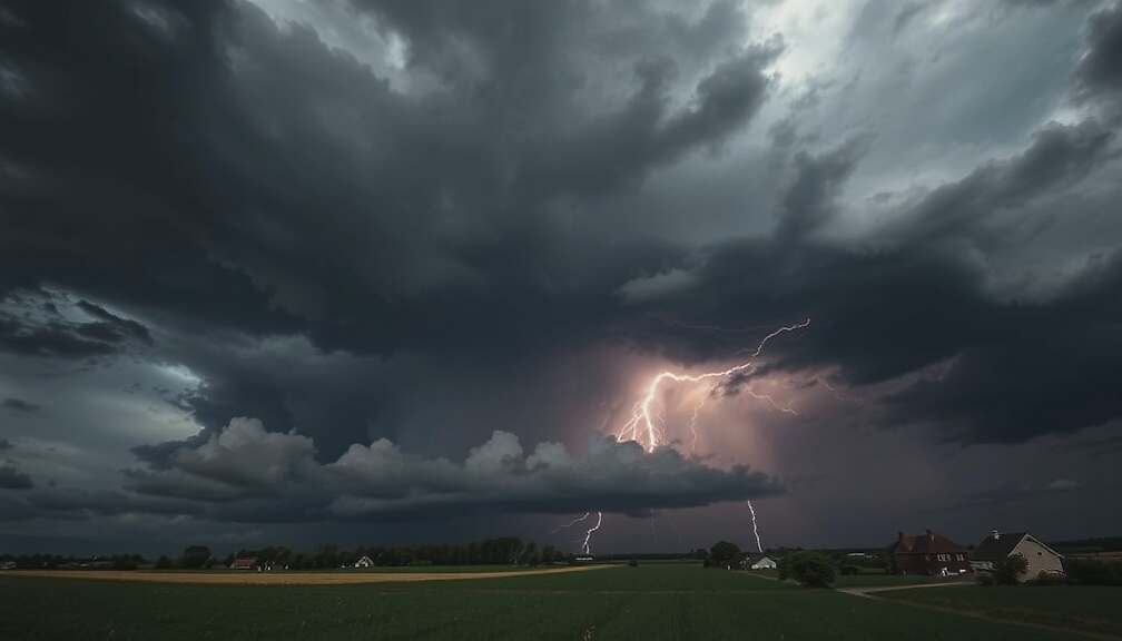
The severe weather is being driven by a cold front that is slowly retreating eastward during the day, followed by a slightly drier and more stable layer of air. Powerful thunderstorms are crossing the southern and eastern central parts of the country. These storms are accompanied by heavy rainfall, which can reach 30 liters per square meter in a short period, along with localized hailstorms and strong wind gusts. Furthermore, the possibility of an extreme weather event delivering up to 40 liters per square meter per hour has not been ruled out.
Later in the day, these individual storms are expected to merge into larger clusters. These larger formations could bring multi-hour precipitation amounts ranging from 40 to 60 liters per square meter in some areas. The threat from the severe weather is anticipated to decrease gradually as the day progresses, moving from west to east.